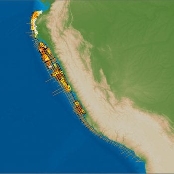
The Buscador Near-shore 2D survey comprises approximately 11,100 km of high quality, long-offset newly acquired 2D data, designed to tie key exploration wells and establish a regional tectonic framework from which to conduct basin modelling and seismic stratigraphic analysis of the entire prospective near-shore Mexican offshore area.
The Gulf of Mexico (GOM) is one of the most prominent offshore exploration regions and has become known for its salt associated discoveries and mega oil finds. The GOM has a long and complex depositional history and is extensive in size, attracting explorers from around the world. Abundant salt pillows and diapirs populate the subsurface resulting in a need for thorough and modern processing sequences to obtain accurate seismic imaging. The GOM contains multiple thick source rock intervals resulting in multiple petroleum systems throughout the region. The area continues to remain one of the most successful exploration provinces despite maturity as the drive for understanding the complex area and the hunt for the large variety of undiscovered play types continues.
The survey covers both proven mature and semi-mature prospective regions and also enters into shallow-water areas with no or limited drilling activity to date.
Careful attention to exact well ties provide a reliable cost-efficient dataset enabling explorers to create regional interpretations. Gravity and magnetic data has also been acquired and processed for this survey.
For further information on the Buscador Near-Shore 2D Seismic Survey, please contact us directly.
Project parameters
| Project Size | ~11,100 km |
|---|---|
| Acquisition Parameters | Vessel: BGP Pioneer Streamer Streamer Type: Solid Streamer Depth: 7m/15m (flat tow) Group Interval: 12.5 Streamer Length: 5km/10km Sample Rate: 2ms Record Length: min 8/14 sec Source Source Volume: 4280 cu.in Source Depth: 6m Shot Interval: 25m/37.5m Gravity and magnetic data acquired and processed |
| Deliverables | Fast Track PSTM Full Angle Stack Final PSDM Full Angle Stack (in time and depth) Final True Amplitude PSDM Angle Stacks (Full, Near, Mid, Far, & Ultrafar) (time and depth) Final PSDM CDP Gathers with residual RMO (in time) Final Imaging Velocity Field (in time and depth) Final Smoothed Imaging Velocity Field for depth conversion (in time and depth) Final Anisotropy Parameters (in depth) Navigation Data Processing Report Acquisition Report Gravity and magnetic data |
Project partners
DownUnder GeoSolutions
Featured Projects
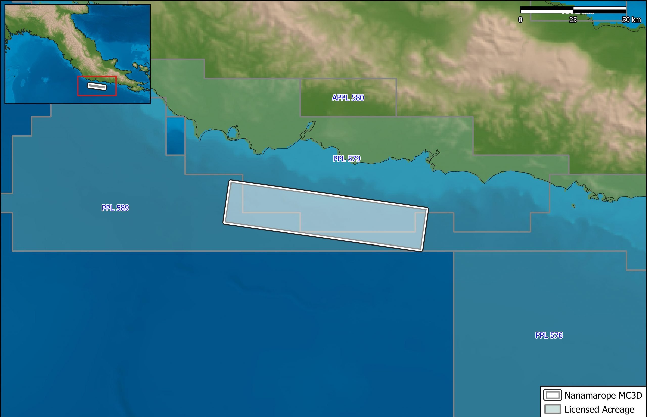
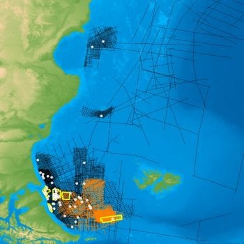
Nanamarope 3D Seismic Survey
Searcher in cooperation with the Department of Petroleum & Energy and Larus Energy is pleased to announce that...
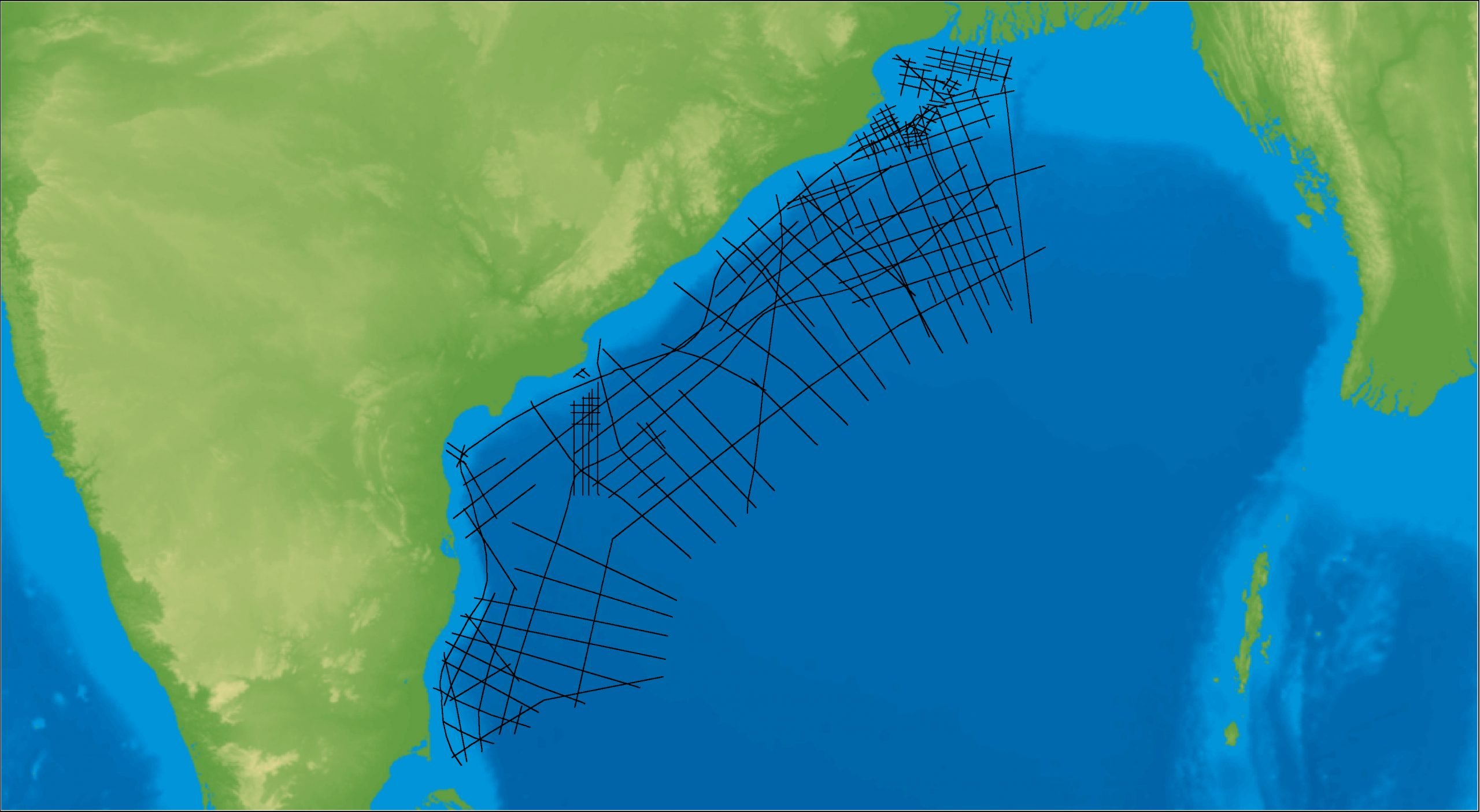
East Coast India Rectified 2D
East Coast India has proven its potential with exploration successes from the Ganges Delta to Krishna-Godavari Basin, and...