Following the success of the Malvinas Basin 2D Reprocessing, which specifically targeted the recent offshore bid round, reprocessing efforts in Argentina were expanded to include greater coverage within the Malvinas and Austral Basins.
PSTM Reprocessing
The Argentina Super-Tie 2D Reprocessing expands Searcher’s data library with 8,008 km of 2D data which has been reprocessed by a modern broadband and AVO compliant workflow to both significantly improve imaging quality and provide regionally consistent data coverage.
Josh Thorp, VP Data & Analytics for Searcher said, “Given the complexity and volume of vintage data involved, the project would not have been possible without support from the Secretariat of Energy and several industry partners who have all contributed data and significant resources to make this project a reality.”
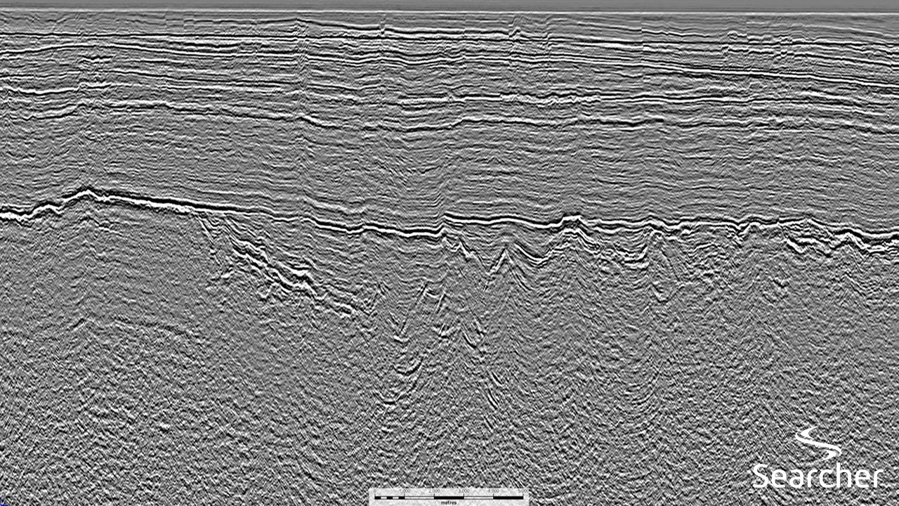
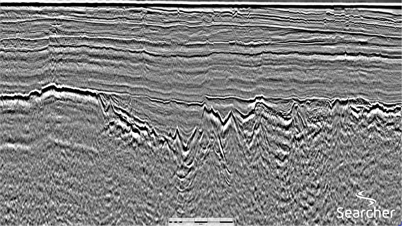
“The uplift between the legacy and reprocessed data is significant. Geological features are far more visible in the reprocessed data, such as faults and prograding clinoforms. Imaging of deeper stratigraphy and basement has also improved immensely, both critical elements assisting with source pod identification.”
Argentina Prospectivity
The Austral Basin in southern Argentina has in the past been the focus for offshore exploration with up to 2 billion barrels of oil equivalent discovered by 51 exploratory wells. To the east of the Austral Basin, over the Rio Chico High, lies the West Malvinas Basin, formed during the late Triassic/Early Jurassic separation of Antarctica and South America. Only 20 exploration wells have been drilled, with discoveries made at Calamar-1, Salmon-1 and Salmon-2 and oil shows encountered within several other wells.
Offshore exploration activity was revived through the first offshore bid round campaign, which was largely supported by a regional 2D seismic dataset which led to a better understanding of the basin. This was followed by applications for licences by various international and domestic loil companies and ended in the successful award of several blocks, mainly in the southern part of the basin. A regional evaluation exercise was carried out to rank the blocks offered in the West Malvinas basin, integrating the reprocessed 2D seismic data available at the time, together with conditioned well logs and a full petroleum systems evaluation.
In this study, it was found that understanding the lateral distribution of lacustrine shales within the syn-rift grabens, is key to de-risking the presence, distribution and quality of source rock in the Malvinas Basin. Data quality of reprocessed 2D seismic data is critical for the interpretation below the Base Cretaceous Unconformity, which at the same time enables interpretation of the Jurassic source rock section. The impressive results obtained in imaging the deeper section with the latest reprocessing phase, have revealed additional syn-rift grabens in the north of the basin, where acreage remained open after the round. The view on prospectivity in this area has shifted, based on indications of a thicker sedimentary section with access to a potential good quality, oil-prone lacustrine source rock. The area is therefore deemed to have hydrocarbon potential that is worth re-evaluating, in light of the new reprocessed seismic data.
The Malvinas Basin 2D Reprocessing and the Argentina Super-Tie 2D Reprocessing tie together seamlessly to a combined total of 19,182 km of PSTM reprocessed 2D data offshore Argentina. This project is an addition to Searcher’s extensive Argentina data library consisting of 2D and 3D OpenSeis, a Wells database and a basin analysis report. The Searcher data library is a consistent regional dataset that can be leveraged to gain a comprehensive understanding of the basins, geology, plays and ultimately build up a leads inventory within these basins, making the datasets an essential tool for unlocking the massive hydrocarbon potential offshore Argentina.
Further Details
Searcher’s offshore Argentina 2D PSTM Reprocessing datasets are available now. For more information or to arrange a data viewing, please contact us directly: sales@searcherseismic.com
Project parameters
| Project Size | ~8,000 km |
|---|---|
| Processing Details | Vintage: 1998 Streamer Length: 4500m – 6000m Processing: Down Under Geosolutions Processing Flow: Broadband de-ghosting | SRME | PSTM |
| Deliverables | Final PSTM Full Angle Stacks Final True amplitude PSTM and Angle Stacks (Full, Near, Mid, Far) Final PSTM CDP Gathers with residual RMO Final PSTM Velocity Field Final Imaging Velocity Field in Time Navigation Data Processing Report |
Seismic examples
