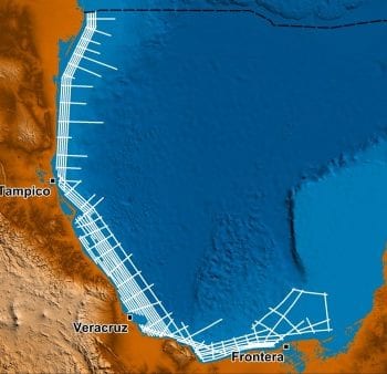
The Offshore Peru OpenSeis 2D & 3D Reprocessing consists of both 2D and 3D vintage seismic data which has been rectified in a post-stack reprocessing method. The data package comprises of ~49,400 km of 2D and 18,400 sq km of 3D seismic data along the coast of Peru.
Offshore Peru offers high impact, moderate risk exploration in shallow water, with high prospectivity in multiple, unexplored basins, supported by Perupetro that is welcoming foreign investment. The Offshore Peru OpenSeis Dataset is an invaluable tool providing the best value proposition for both preliminary and ongoing evaluations of regional prospectivity.
OpenSeis Reprocessing
Searcher has applied its proprietary OpenSeis post-stack reprocessing method to the Peruvian database to rectify navigation, metadata, amplitude, phase and time to create a contiguous database that can be easily loaded into any interpretation software. The Offshore Peru OpenSeis dataset consists of 19 rectified and merged 2D seismic surveys and 21 rectified and merged 3D seismic surveys.
The regional Offshore Peru OpenSeis 2D and 3D aims to provide a much-improved, consistent, regional grid covering the offshore basins of Peru, with multiple vintages tying as many wells, leads and prospects as possible.
sAIsmic Platform
The rectified Offshore Peru OpenSeis 2D and 3D seismic data is also loaded and hosted on Searcher’s multi-client platform, sAIsmic, for consistent and instant online access for explorers. sAIsmic is a transformative web-based platform that offers seismic Data as a Service (DaaS) with support for deep learning and advanced analytics. The sAIsmic GIS web portal has traditional functionalities of ingestion, online viewing and export to SEGY functions and offers a global collection of rectified open-file seismic data.
Offshore Peru Prospectivity
Offshore Peru already has a proven prolific oil play and prospectivity within multiple basins containing both thick reservoir seal pairs and a rich array of structural traps, yet offshore Peru remains dramatically under-explored. Hydrocarbon fields both on and offshore along the north coast in the Tumbes-Progreso and Talara extensional basins currently contribute over 1.8 billion barrels of domestic oil production. To the south of these producing fields lie 5 additional offshore basins where little to no exploration activity has been undertaken to date.
With only 4 exploration wells, the Trujillo and Salaverry Basins have proven source and the Lobos-1 and Morsa North-1 exploration wells encountered significant oil shows during drilling. Hydrocarbon samples recovered from natural slicks on the sea surface demonstrate the existence and veracity of active petroleum systems within these basins. Numerous large undrilled structures in a variety of trap types have been identified on legacy seismic data that has been recently rectified by Searcher.
The Lima and Pisco basins are interpreted as strike slip (pull-apart) basins with significant extensional horst and graben structures present. Geological and geophysical studies carried out on just under 50 samples collected for geochemical analysis indicate that the Carboniferous Ambo Group is likely to be one of the main source rocks within these basins, with Eocene and Oligocene sandstones being proven reservoirs onshore and therefore interpreted to be effective reservoirs offshore as well.
To the south, no exploration wells have been drilled to date in the Mollendo basin. This frontier basin comprises a long narrow forearc basin located mostly on the continental slope. Asphalt layers encountered onshore in Lower and Middle Jurassic formations indicate the presence of potential source rocks which extend offshore. Even with limitations of the available offset information multiple leads have been identified on Searcher’s rectified seismic dataset, suggesting that the Mollendo Basin may yet prove to be the dark horse of Peruvian exploration.
Offshore Peru has proven hydrocarbon systems and strong evidence of significant untapped hydrocarbon potential. The Searcher rectified seismic is a consistent regional dataset that can be leveraged to gain a comprehensive understanding of the basins, geology, plays and ultimately build up a leads inventory within these basins, making the dataset an essential tool for unlocking the massive hydrocarbon potential of offshore Peru.
Further Details
Searcher’s Offshore Peru OpenSeis 2D & 3D datasets are available now on the sAIsmic platform and via SEGY delivery. For more information or to arrange a data viewing, please contact us directly.
Project parameters
| Project Size | ~44,300 km of 2D & ~15,500 sq km of 3D |
|---|
Project partners
Perupetro
Featured Projects
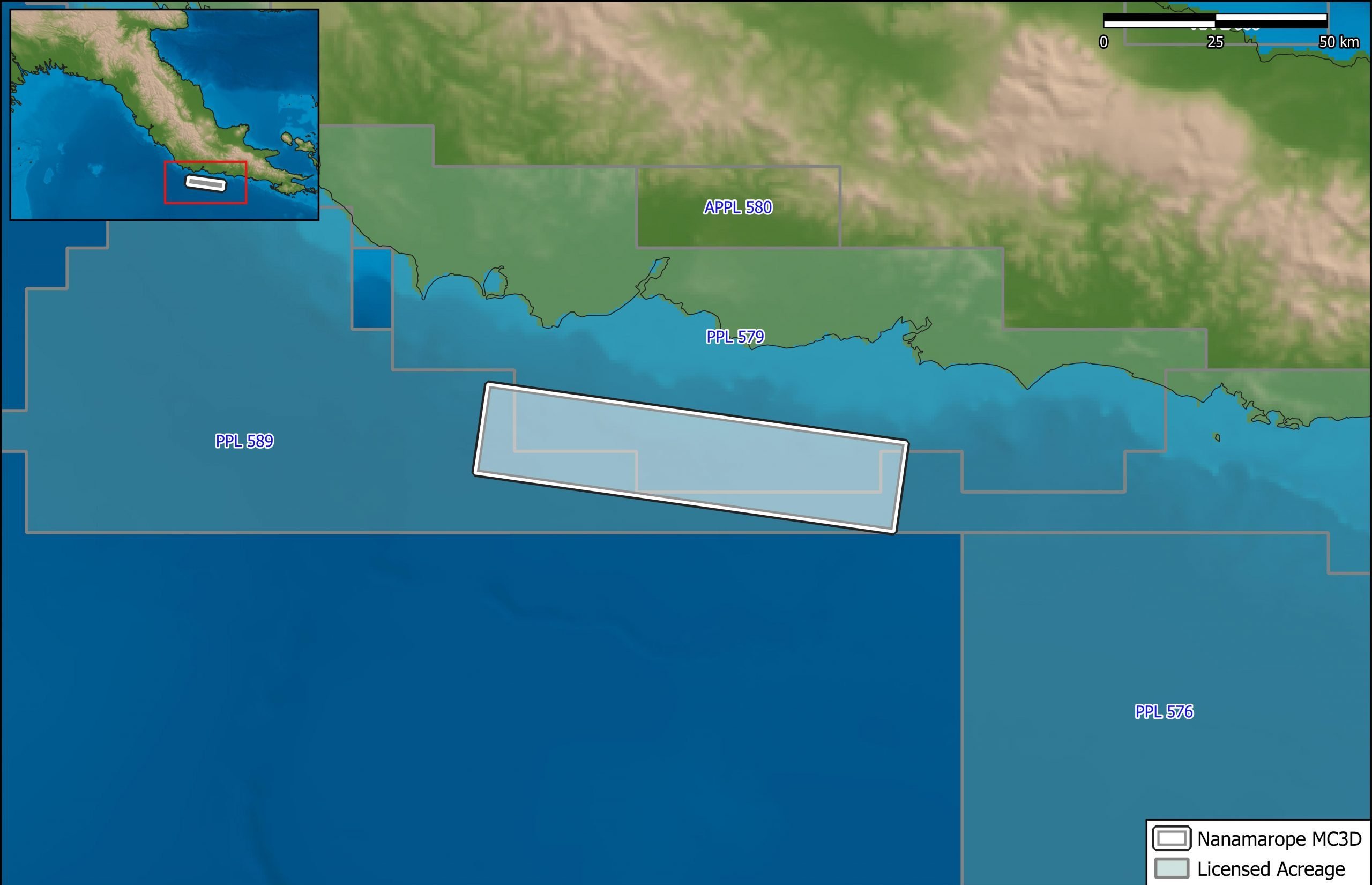
Nanamarope 3D Seismic Survey
Searcher in cooperation with the Department of Petroleum & Energy and Larus Energy is pleased to announce that...
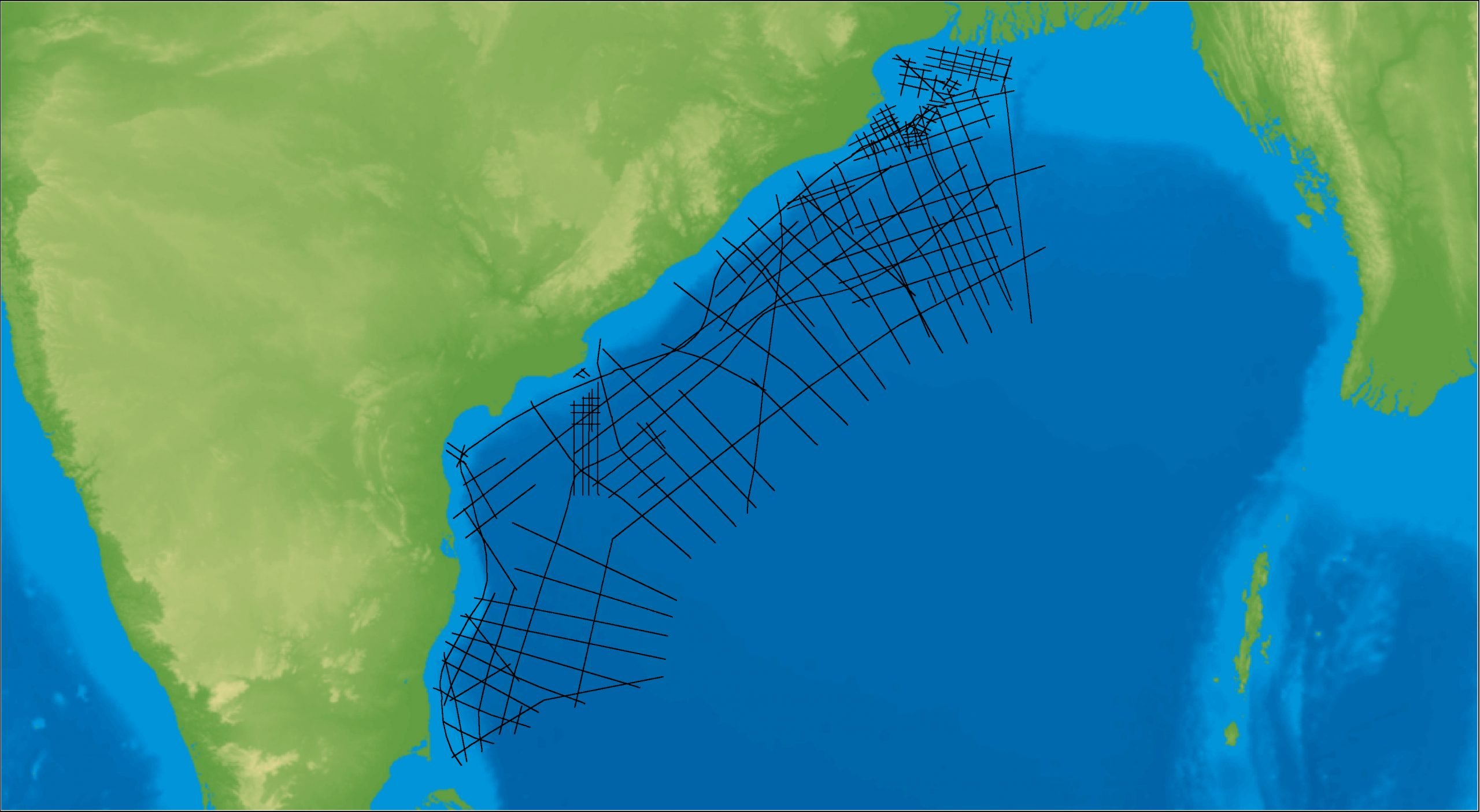
East Coast India Rectified 2D
East Coast India has proven its potential with exploration successes from the Ganges Delta to Krishna-Godavari Basin, and...