The Onshore Canning 2D Super-Tie™ consists of 8,920 km of 2D seismic data in northern Western Australia.
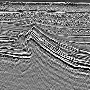
The Onshore Canning area has huge unconventional resource potential. The application of modern processing techniques combined with navigation quality control and statics corrections will produce a single basin-wide, high quality dataset that ties all the critical wells, providing a unique and indispensable tool for understanding the tectonics and petroleum systems of the Canning Basin.
Through the use of a regionally consistent statics model to ensure a common elevation datum and shallow velocity field, the Onshore Super-Tie™ Reprocessing allows for a regional tie across the Onshore Canning Basin and is a must have dataset for explorers and evaluations of the basin’s prospectivity.
For further information on the Onshore Canning 2D Super-Tie™ Reprocessing please contact us directly.
Project parameters
| Project Size | 8,920 km |
|---|---|
| Key Processing Parameters | Regionally consistent statics Kirchhoff PSTM |
| Deliverables | Final Full Angle Volume (AGC) Angle Volumes (Near, Mid, Far, Full) Navigation Data Final Stacking Velocity Processing Report |
Featured Projects
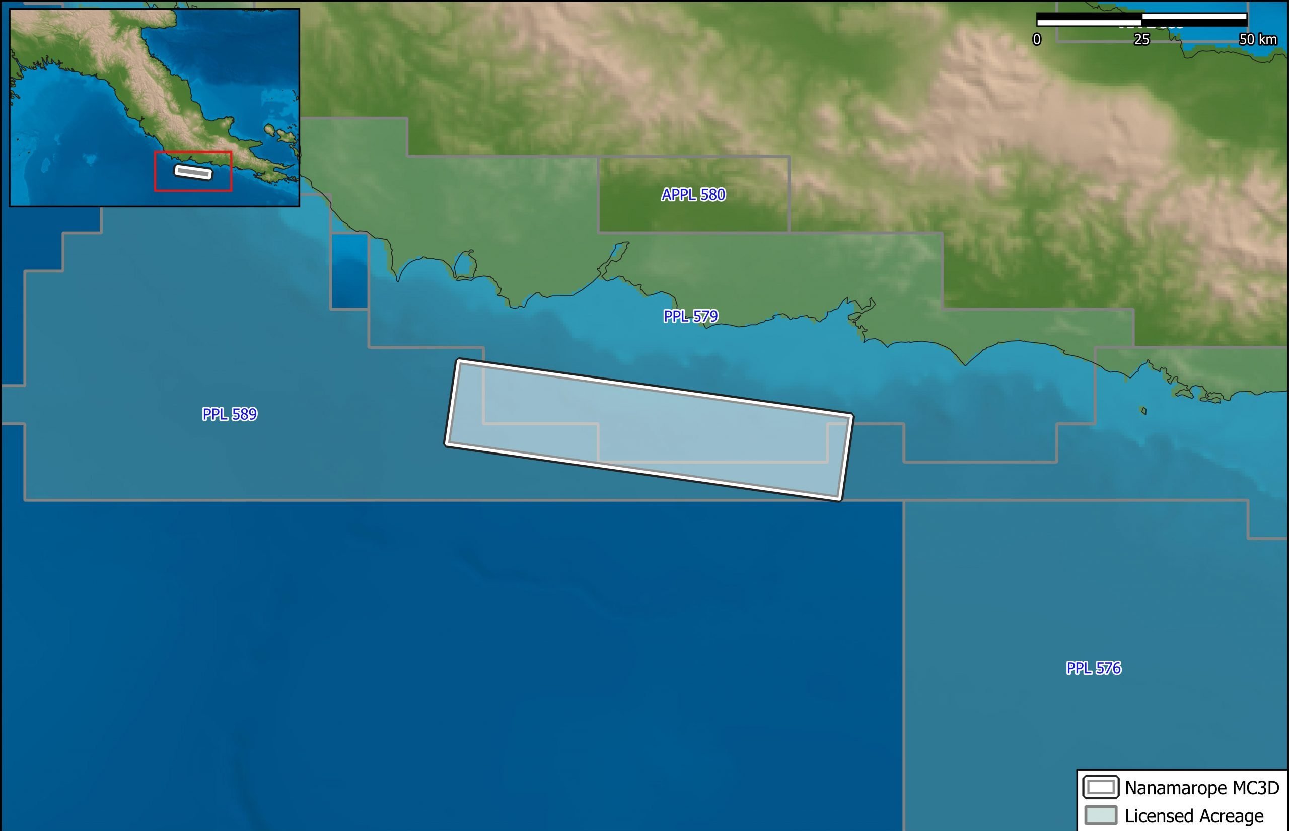
Nanamarope 3D Seismic Survey
Searcher in cooperation with the Department of Petroleum & Energy and Larus Energy is pleased to announce that...
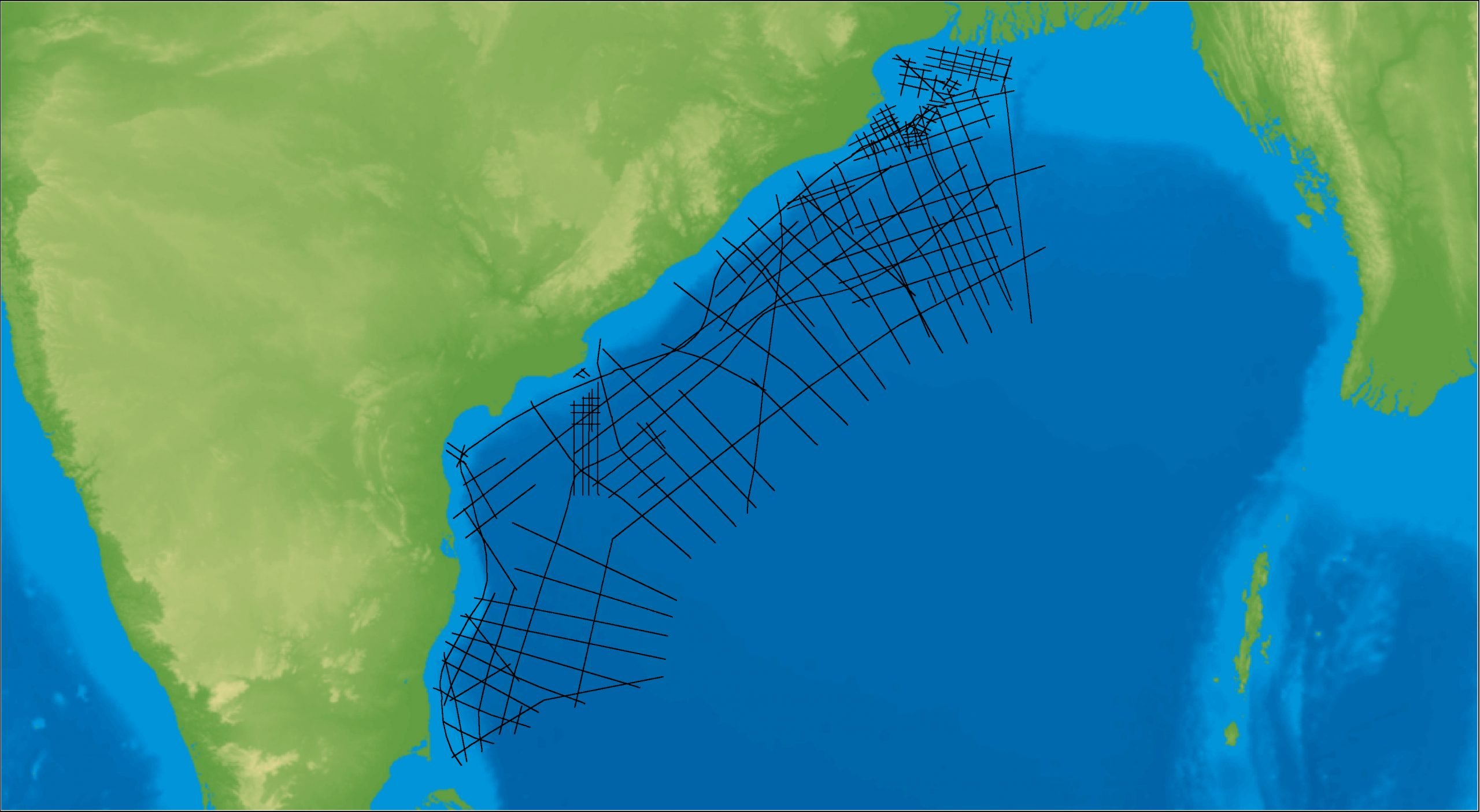
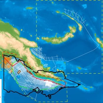
East Coast India Rectified 2D
East Coast India has proven its potential with exploration successes from the Ganges Delta to Krishna-Godavari Basin, and...