The Roho Airborne Gravity, Gravity-Gradiometry and Magnetics Survey covers approximately 60,700 square kilometres (~52,700 line km equivalent) along the southern coast of PNG.
The survey compliments several marine seismic and geochemical projects recently completed by Searcher aimed at assessing the hydrocarbon potential of the Gulf of Papua and adjacent Coral Sea areas, offshore PNG. The data were acquired with a 1km line spacing in the northern Gulf of Papua, and 2km line spacing extending along the coastline to SE PNG.
The Roho Survey is designed to bridge the gap between the onshore areas of PNG where many wells have been drilled, providing good geological control points, and the offshore regions in the Gulf of Papua and Coral Sea, where a substantial database of new, high quality seismic data is now available, but well data is sparse or absent all together.
Much of the area covered by the Roho Survey were comprised of shallow water transition zone environments where seismic operations are difficult and expensive. The survey was acquired by CGG Multi-Physics, using a Basler BT-67 and a DHC-6 Twin Otter twin turbine fixed wing aircraft.
Final data is now available for the Roho Survey and a regional interpretation of the data is also available.
Project parameters
| Deliverables | Full spectrum Falcon AGG, gravity and magnetic data Measured and processed line data Vertical gravity gradient and gravity grids Full gravity gradient tensor grid Final processed TMI grid Final differential reduced to pole, analytic signal or reduced to equator grids Digital terrain model grid Survey logistics and processing report Survey interpretation report (for full license) |
|---|
Featured Projects
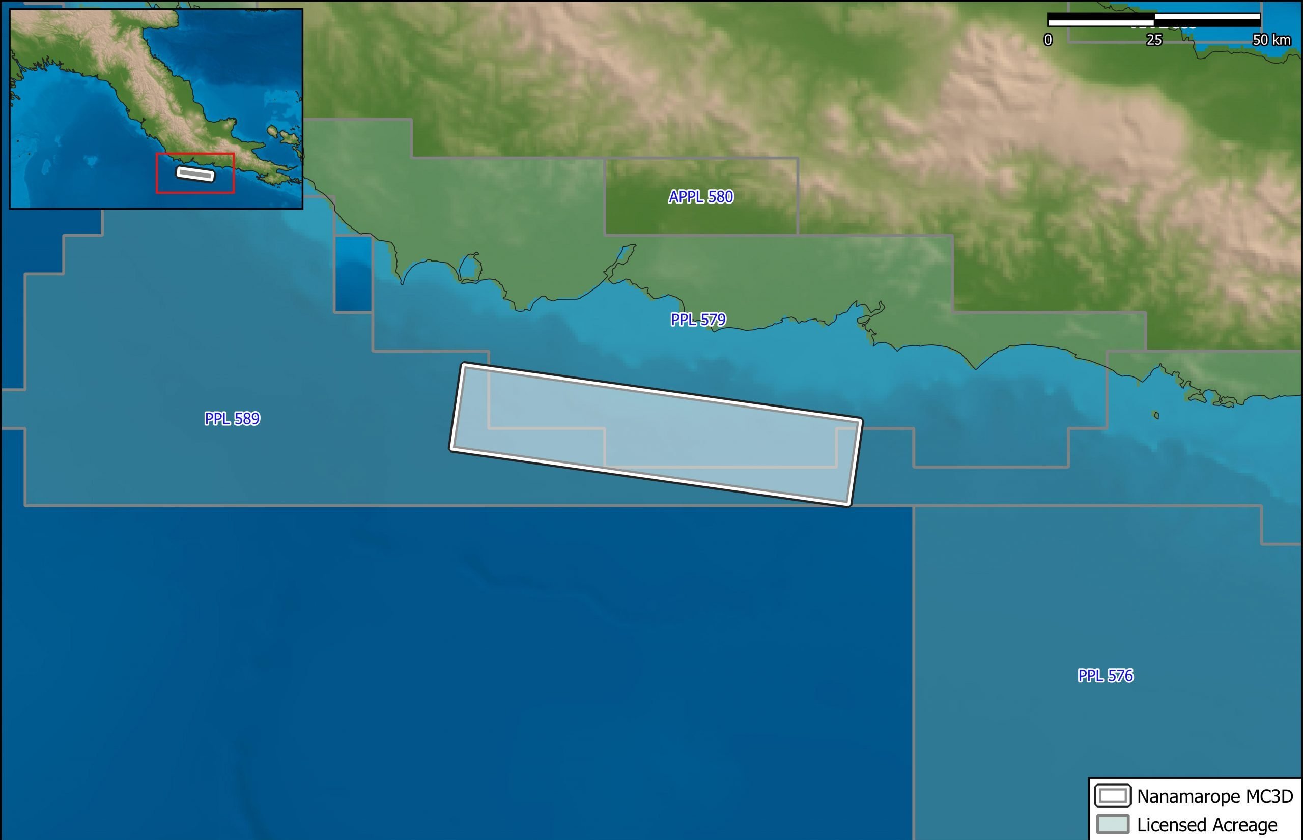
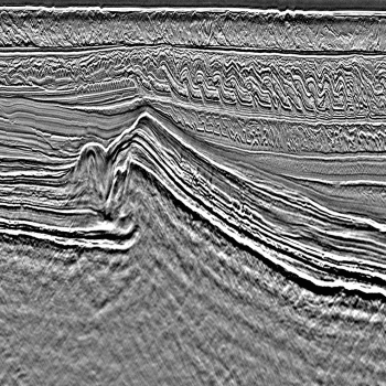
Nanamarope 3D Seismic Survey
Searcher in cooperation with the Department of Petroleum & Energy and Larus Energy is pleased to announce that...
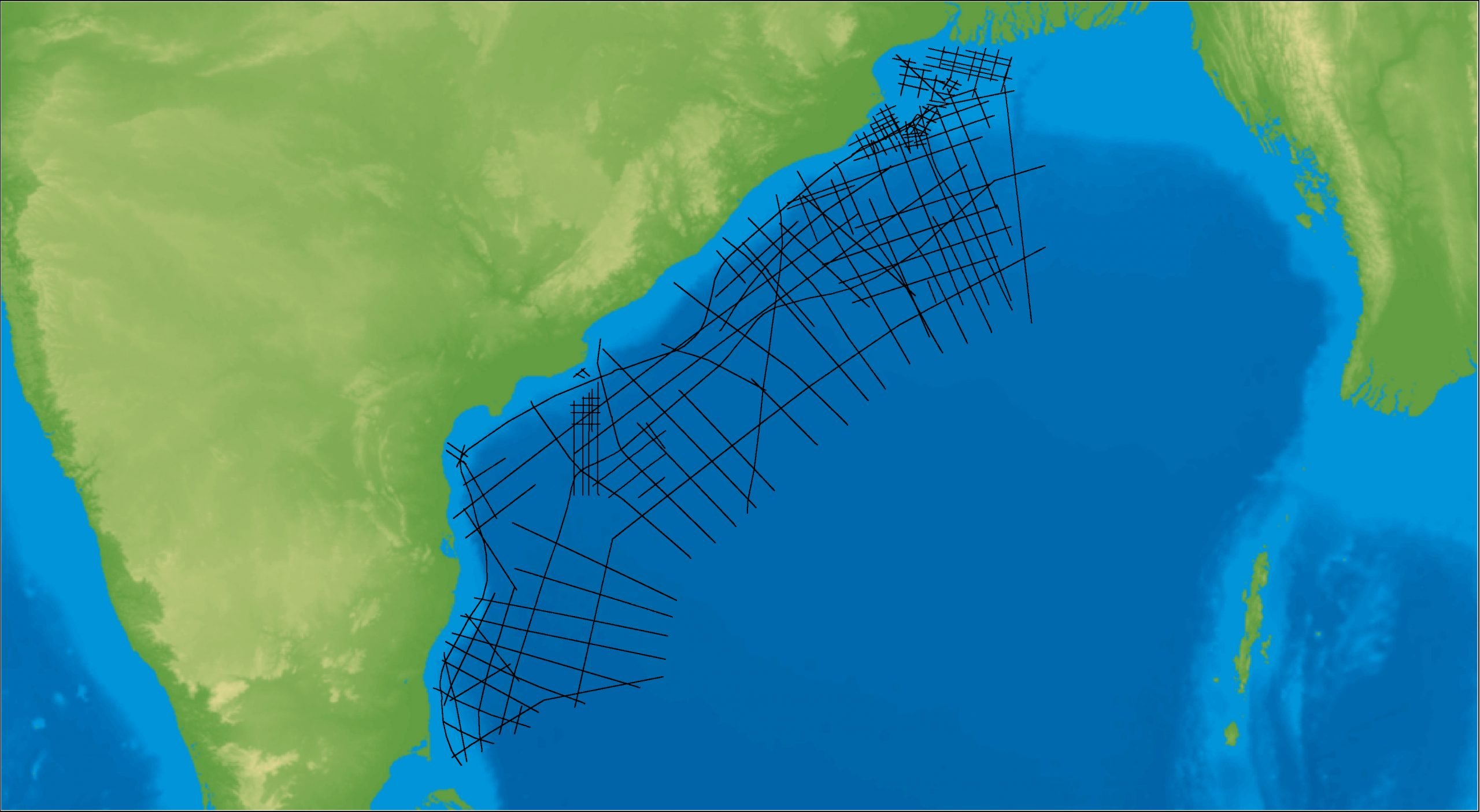
East Coast India Rectified 2D
East Coast India has proven its potential with exploration successes from the Ganges Delta to Krishna-Godavari Basin, and...