Searcher Seismic in conjunction with project partner TGS acquired over 12,000 km of 2D long-offset seismic data over the south eastern Papuan Basin.
The survey was acquired in water depths ranging from 30 m to 2,500 m and is still regarded as one of the most comprehensive seismic exploration datasets in the Gulf of Papua.
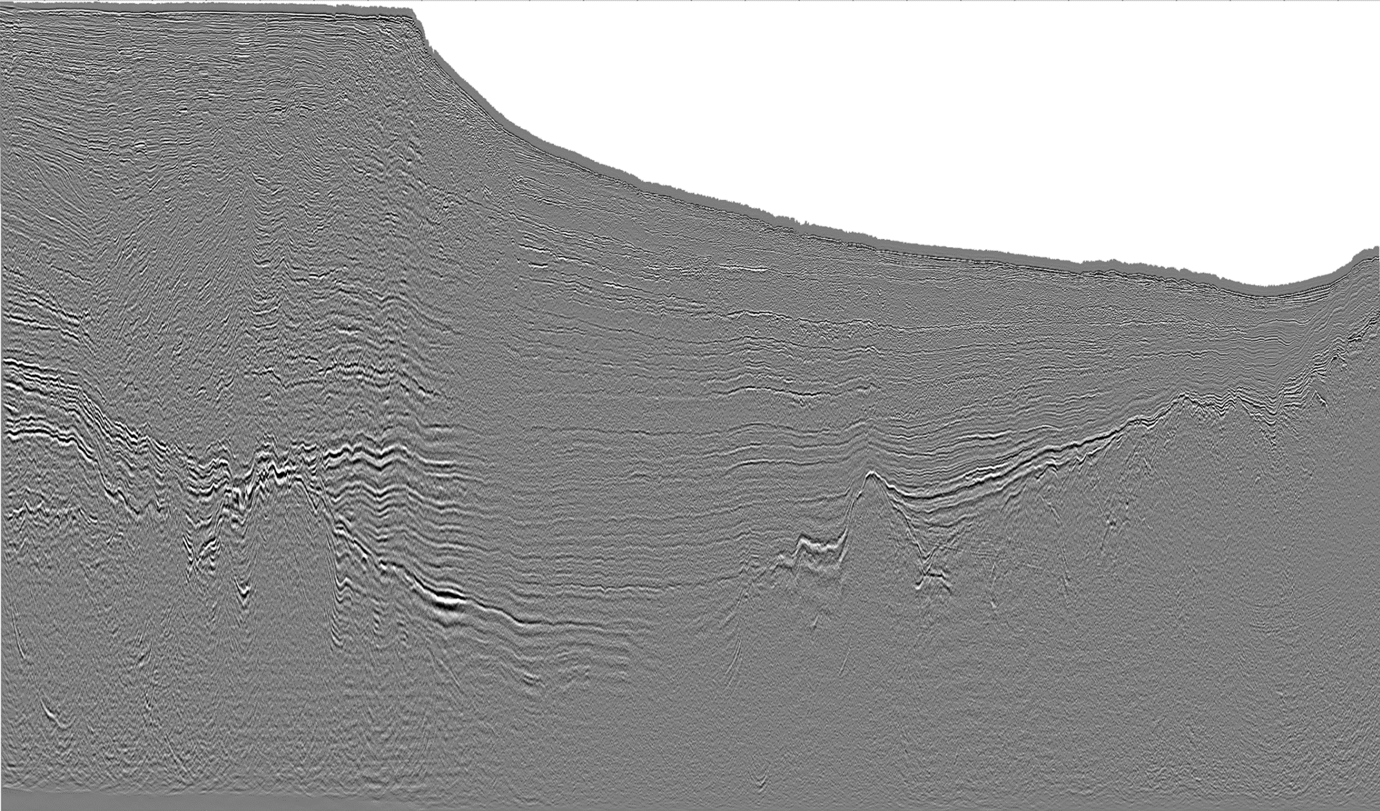
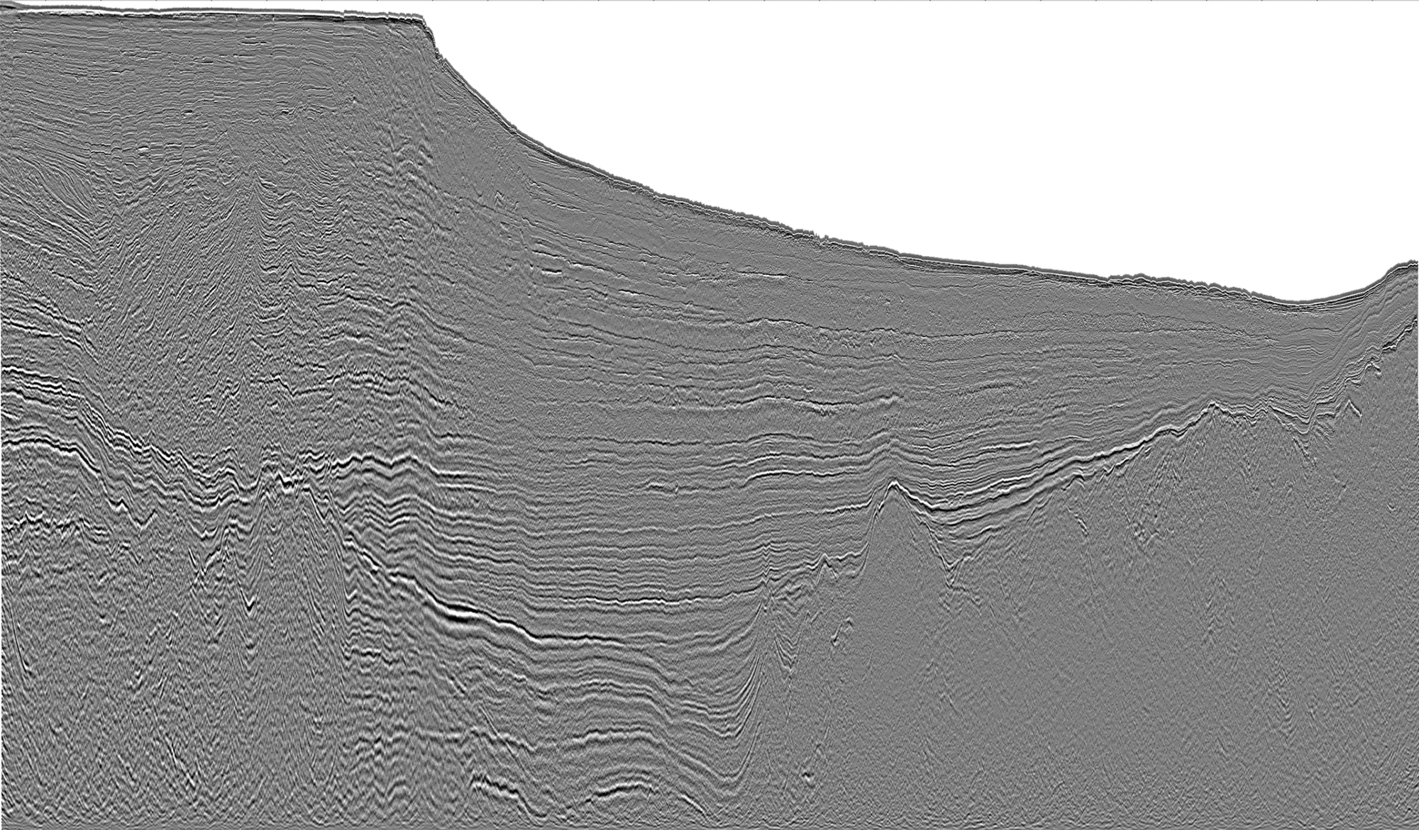
The original processing greatly improved understanding of the deep compressional fold belt and changed the industry’s prospectivity outlook by showing potential for new pre-Tertiary petroleum systems.
However, the area is plagued with a complex overburden and pushed the limits of traditional PSTM imaging. By applying broadband deghosting and a modern PSDM processing sequence, previous understanding of the basin is being fundamentally changed and there is fresh insight on old plays.
New PSDM data is available now. Gravity and magnetic data was also acquired and processed and available now.
Prior to the acquisition of the Lahara Non-Exclusive 2D Seismic Survey, Searcher Seismic and TGS reprocessed approximately 27,000 km of existing 2D seismic data – both Post-Stack and PSTM. View the Gulf of Papua 2D Reprocessing Package for further information.
Project parameters
| Project Size | ~12,900 KM |
|---|---|
| Acquisition Details | 2D Digital Solid Streamer May 2006 S/V Polar Duke (Fugro) Gravity and magnetic data acquired and processed |
| Acquisition Parameters | Sample Rate: 2 ms Record Length: 8 sec Streamer Length: 7200 m |
| Key Processing Parameters | Broadband deghosting Anisotropic Kirchhoff PSDM 7 iterations of tomographic velocity model building |
| Deliverables | Final Full Angle Volume (AGC) (in time and depth) Final Full Angle Volume (Raw) (in time and depth) True Amplitude Angle Volumes (Near, Mid, Far, Ultra Far) (in time and depth) Final PSDM CDP gathers with residual RMO Final migration interval velocity field Final anisotropic parameter fields Gravity and magnetic data |
Seismic examples
Project partners
TGS
Featured Projects
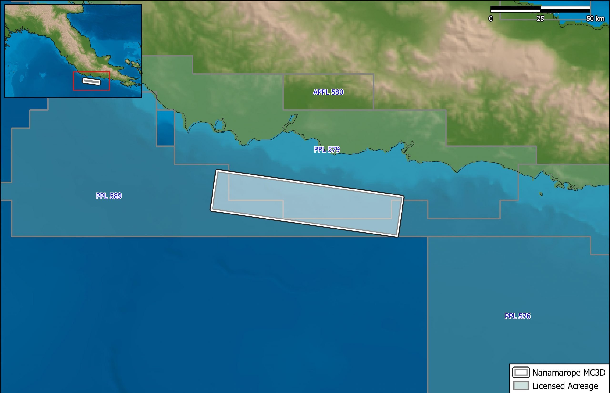
Nanamarope 3D Seismic Survey
Searcher in cooperation with the Department of Petroleum & Energy and Larus Energy is pleased to announce that...
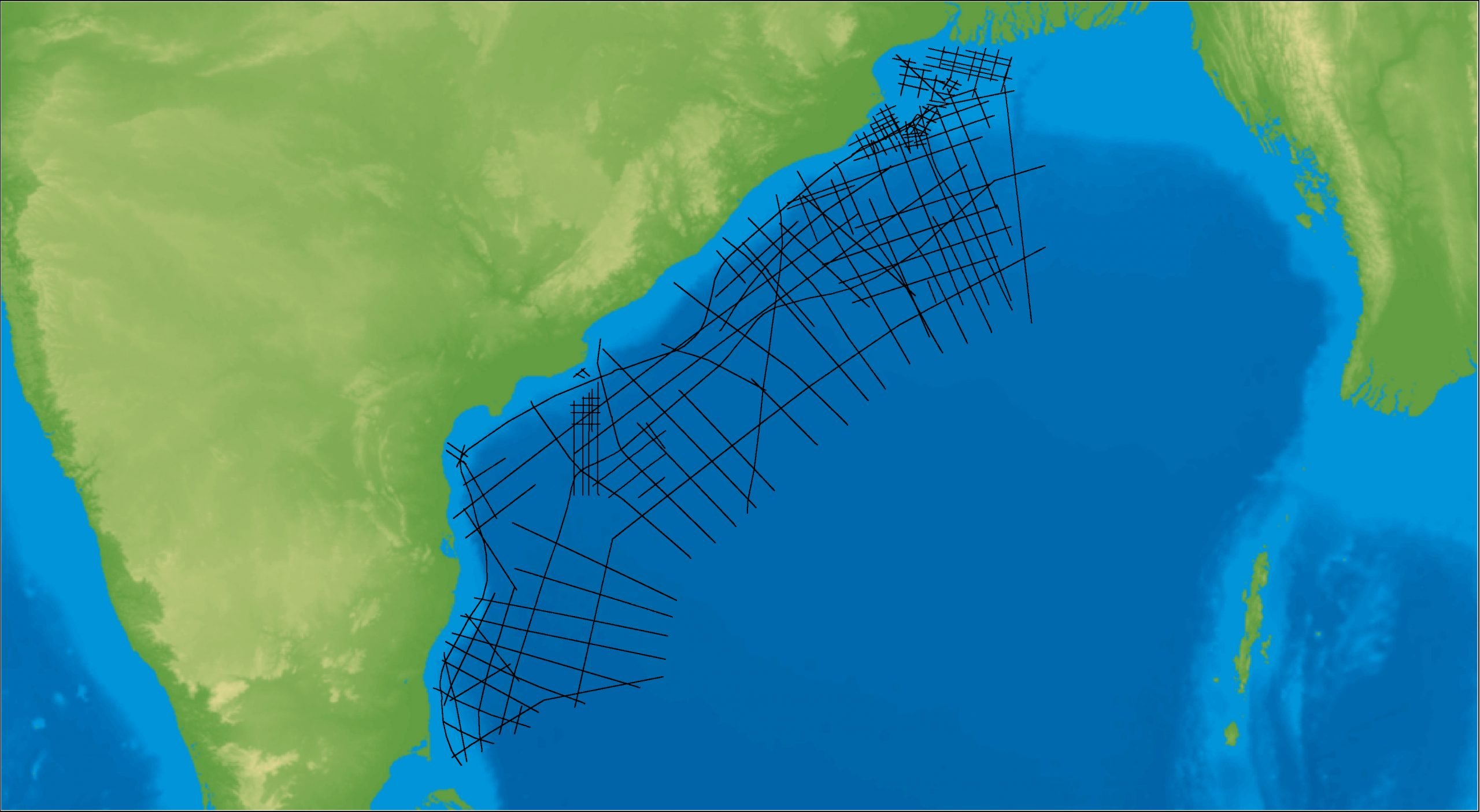
East Coast India Rectified 2D
East Coast India has proven its potential with exploration successes from the Ganges Delta to Krishna-Godavari Basin, and...