5 Apr 2016
The Australian Government recently released the proposed areas for the 2016 federal acreage release.
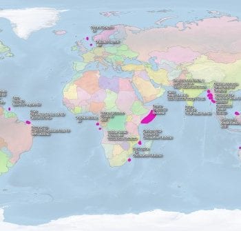
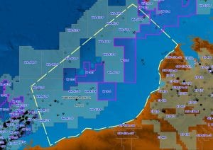
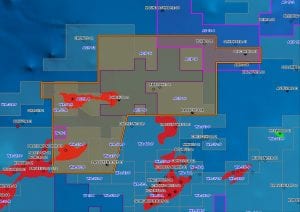
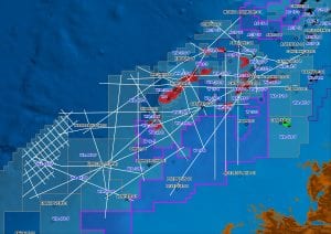
Searcher Seismic’s multi client data library has extensive coverage of the proposed areas offshore Western Australia. Each of the project maps below show the proposed 2016 blocks in pink, or you can explore using our global interactive map here.
For more information on each project – click the maps below or contact us directly on – sales@searcherseismic.com.
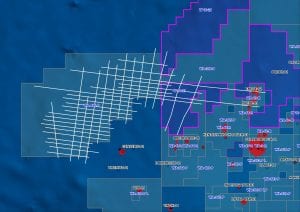
OFFSHORE CANNING BASIN
Bilby 2D Seismic Survey
Offshore Canning Prospectivity Study
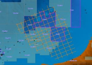
Roebuck Super-TieTM
North West Shelf Super-TieTM
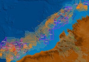
CARNARVON BASIN
Drop Bear UltracubeTM
Foxhound Non-Exclusive 3D Seismic Survey
Duvalia 2D Seismic Survey
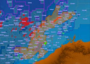
Carnarvon UltracubeTM
Monodon UltracubeTM
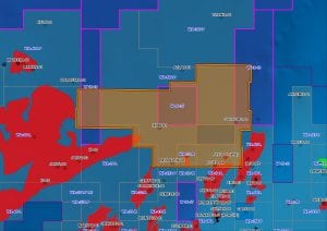
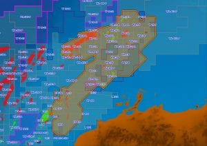
BONAPARTE BASIN
Bonaparte UltracubeTM
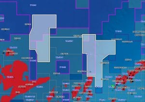
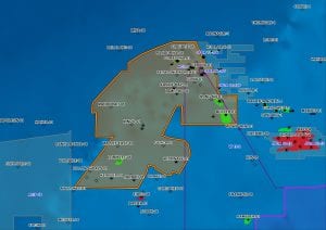
BROWSE BASIN
Browse UltracubeTM
Vampire 2D Seismic Survey
The proposed blocks are subject to change until the official launch of the 2016 Acreage Release at the APPEA Exhibition and Conference in Brisbane on the 6 June 2016.
Visit Searcher Seismic at APPEA – Stand # 211.